

Source: Air Navigation Services of the Czech Republic
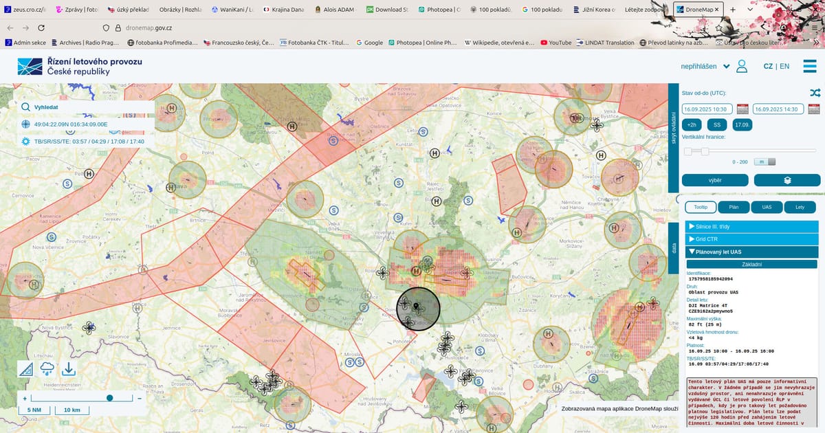
The Czech Air Navigation Services have introduced DroneMap: a new digital tool that helps pilots navigate both air and ground restrictions. The app provides instant information about no-fly zones, required permissions, and areas where rules have been eased. According to the UAV Alliance, it represents a major step toward safer and more accessible drone operations.
A new digital application called DroneMap is transforming how drone pilots operate in the Czech Republic.
See more here.
Author: Vít Pohanka