

Photo: Jiří Šindelář, Geo-cz
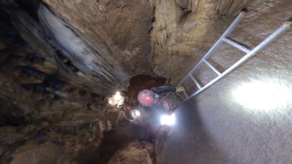
The Koněprusy Caves, the largest known cave system in Bohemia, are the first in Europe to have a digital map. It was created by a team of scientists using 3D scanning. A special camera allowed them to access places that have never been mapped before.
The Koněprusy Caves are located just 30 kilometres south-east from Prague, in the heart of a limestone region known as Bohemian Karst. The extensive cave system, formed millions of years ago, spans two kilometres in length with three levels.
They consists of passages, caverns and domed chambers rich in striking stalactites and stalagmites. The biggest attraction are the so-called Koněprusy rosettes, formed by calcium carbonate that dissolved along the edges of an underground lake.
See the rest here.
Authors: Ruth Fraňková, Jitka Cibulová Vokatá